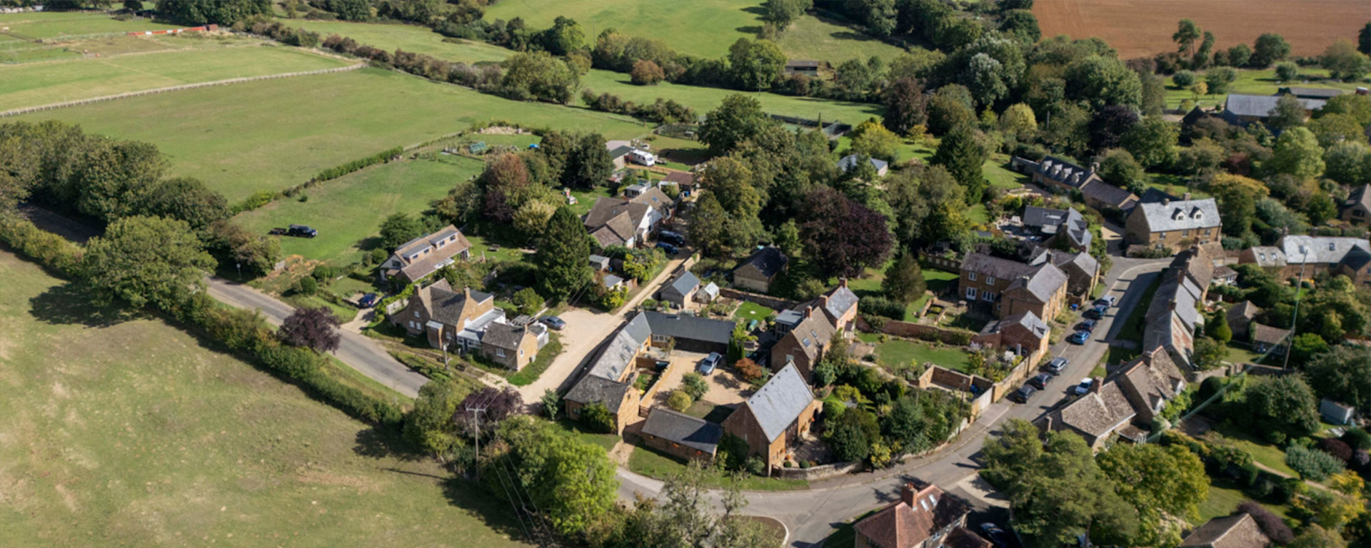
Wigginton, Oxfordshire, lies half way between Banbury and Chipping Norton, on the River Swere. It covers 1,187 acres and is roughly triangular in shape with the river forming one side of the triangle.
The parish is connected to the main road from Hook Norton to Milcombe; it is further connected with South Newington and Swerford by minor roads.
Local Services
Cherwell District Council: All things Wigginton
Search for all things Wigginton
Cherwell DC: Search for Wigginton ItemsOxfordshire County Council
This link will take you to the Oxfordshire County Council website
Oxfordshire CC WebsiteThames Valley Police: Banbury Rural
Thames Valley Police: Banbury Rural division for Wigginton
TVP Banbury Rural webpageCountryside Access
Footpaths and Bridleways map and problem reporting site.
OCC Public Rights of Way MapLatest News
Mowing Volunteers Needed
12
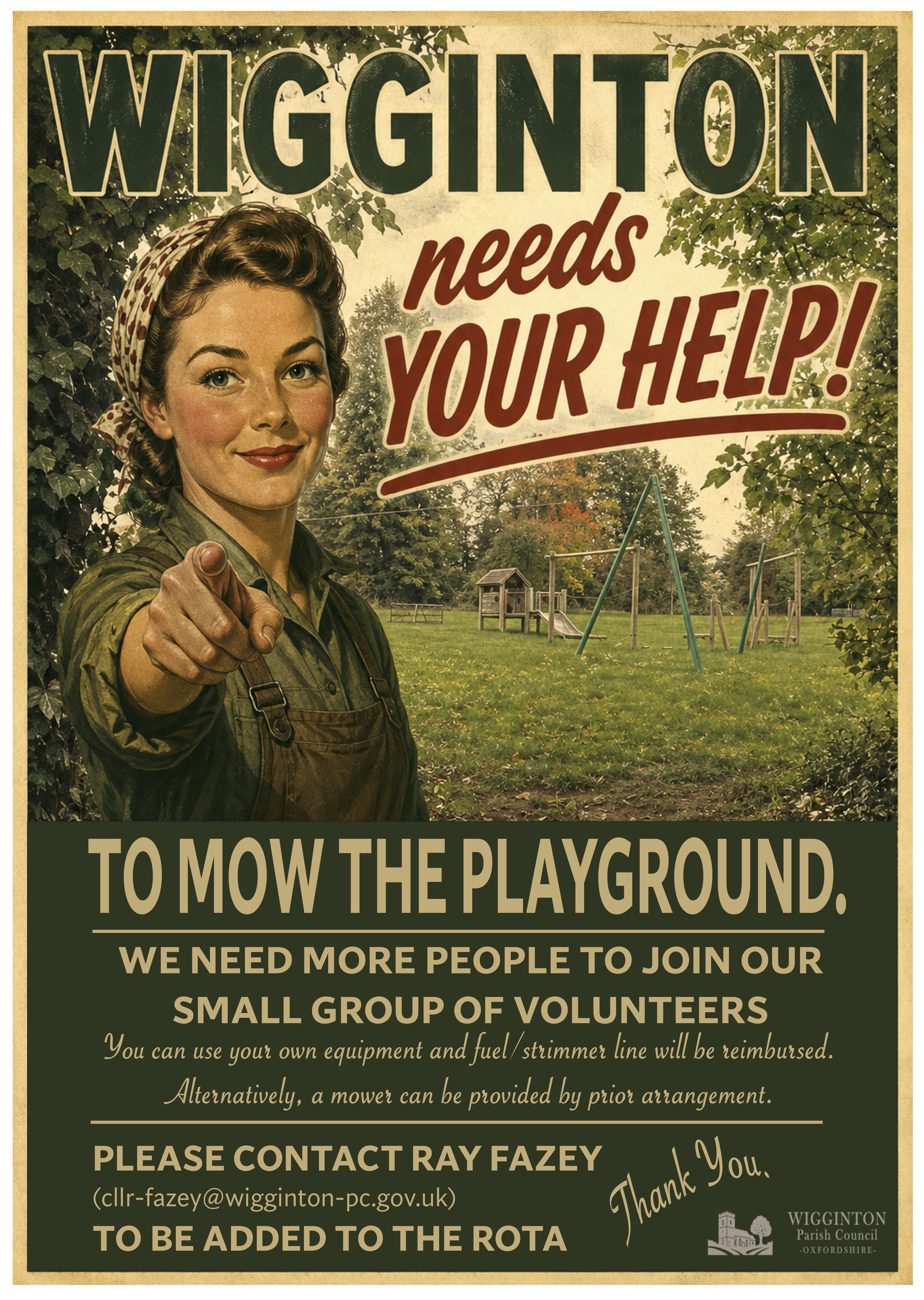
Unfortunately, due to unforeseen circumstances we are a person down on the mowing team. If you are a villager and can spare the time, please contact Ray to be added to the rota. Thank you.
Glass recycling is changing - 1st January
08
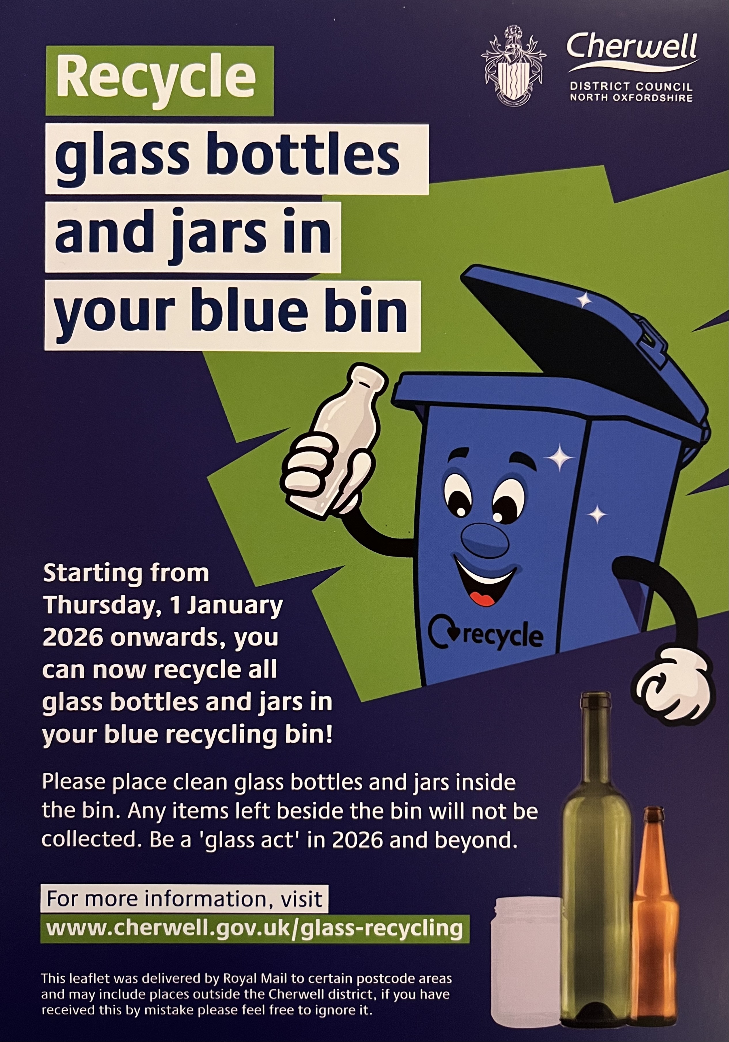
Recycle glass at home with kerbside collections
From 1 January 2026, residents across Cherwell will be able to recycle glass bottles and jars using their blue recycling bin
More information can be found here